Islamabad / Murree · Hikes
Pipeline Track
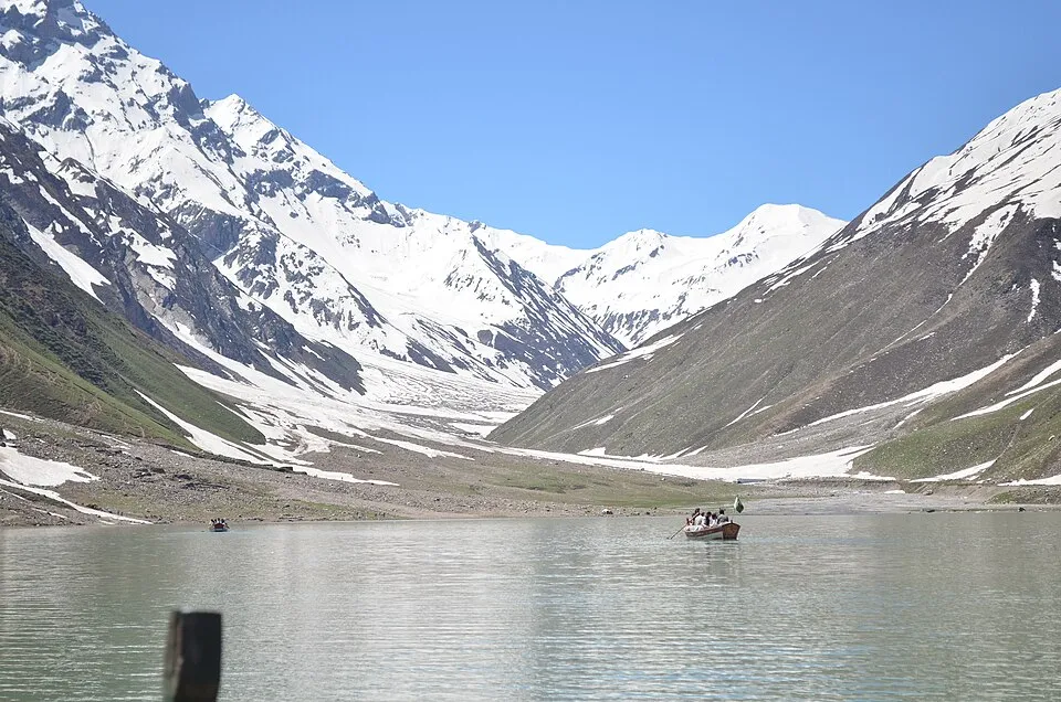
Pipeline Track is an easy forest walk linking Dunga Gali and Ayubia in the Galyat hills - a classic family-friendly half-day outing from the Murree corridor. Most parties walk one way and arrange a vehicle at the far end.
Plan this tripAlso known as Ayubia Pipeline Track, Dunga Gali Pipeline Walk
Practical notes
- Facilities
- Tea stalls and parking at Dunga Gali / Ayubia ends; limited mid-track services.
These notes are not a safety guarantee. Conditions change; check closer to your dates.
Access
Getting there
85 km
Distance
~3 hrs
Drive
Last mile
Point-to-point forest track between Dunga Gali and Ayubia; arrange pickup at the far end or reverse.
Road Paved to Dunga Gali / Ayubia; pipeline path is graded foot trail through forest.
When to go
Month-by-month access and crowding.
- Ideal
- Crowded
- Risky
- Closed
- Unknown
Pipeline Track is an easy forest walk linking Dunga Gali and Ayubia in the Galyat hills - a classic family-friendly half-day outing from the Murree corridor. Most parties walk one way and arrange a vehicle at the far end.
On the ground
What to expect
Facilities
Basic
Permit
Not required
Entry fee
Confirm locally
Facilities Tea stalls and parking at Dunga Gali / Ayubia ends; limited mid-track services.
Permit Confirm Ayubia National Park entry / camera fees if charged.
The story
Unlike summit pushes to Mushkpuri or Miranjani, Pipeline Track stays on a gentler contour path through pine forest. It is ideal for mixed groups and first-time Galyat visitors. Combine with a Nathia Gali overnight or continue to harder ridge hikes on a second day. Confirm park opening hours and trail mud status after monsoon or winter snow.
Photos
2 photos
Route map
Pipeline Track
Approximate coordinates — confirm the trailhead locally: 34.05000, 73.40000 · Open in OpenStreetMap
Nearby
Easy add-ons while you’re around Pipeline Track.
2 places
 Hikes+0.5 hrs
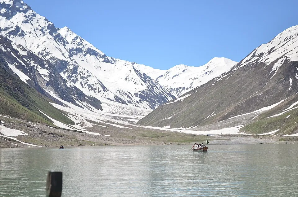
Mushkpuri Top
Mushkpuri Top is a moderate day hike from Nathia Gali in the Galyat hills, popular with Islamabad weekenders. Most parties summit and return the same day, with lodging available in Nathia Gali if splitting the trip.
Open guide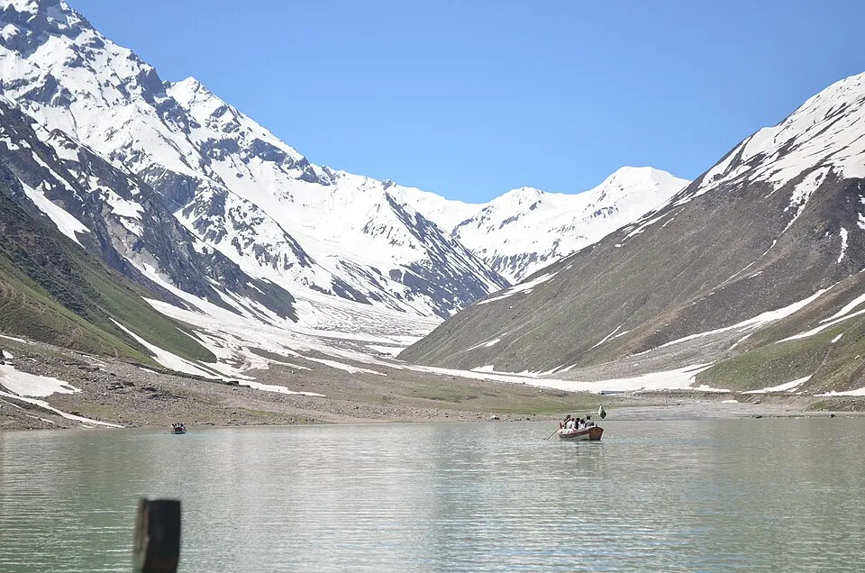 Hikes+0.5 hrs
Miranjani Top
Miranjani Top is a moderate-to-hard day hike in the Galyat / Ayubia hills, typically staged from Nathia Gali. It is longer and more demanding than Mushkpuri for many parties, best done with an early start and weather buffer.
Open guide
Trip reports
No trip reports yet. Be the first to share one.
How this guide was checked
This guide was desk researched and has not yet been field verified.
Current road, permit, and weather status: confirm locally. Conditions change.
No named field editor is attached to this page yet — we do not invent bylines.