

Ghizer · ghizer · Regions
Ghizer
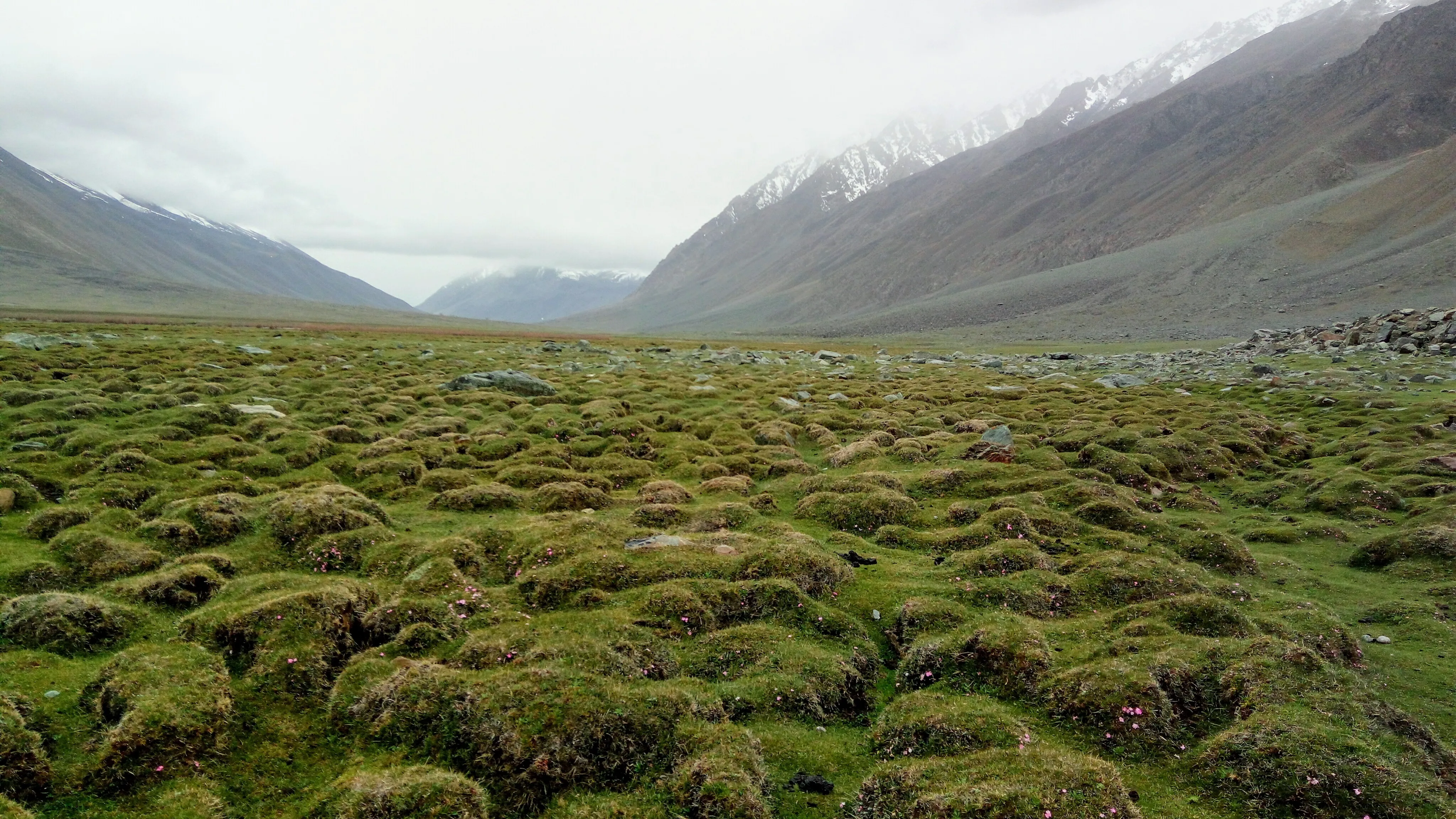
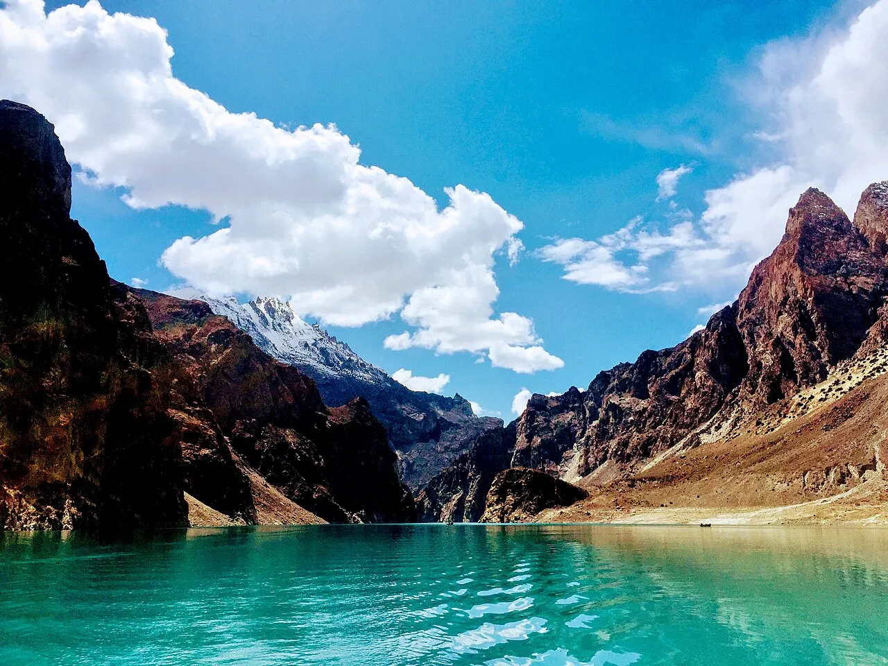
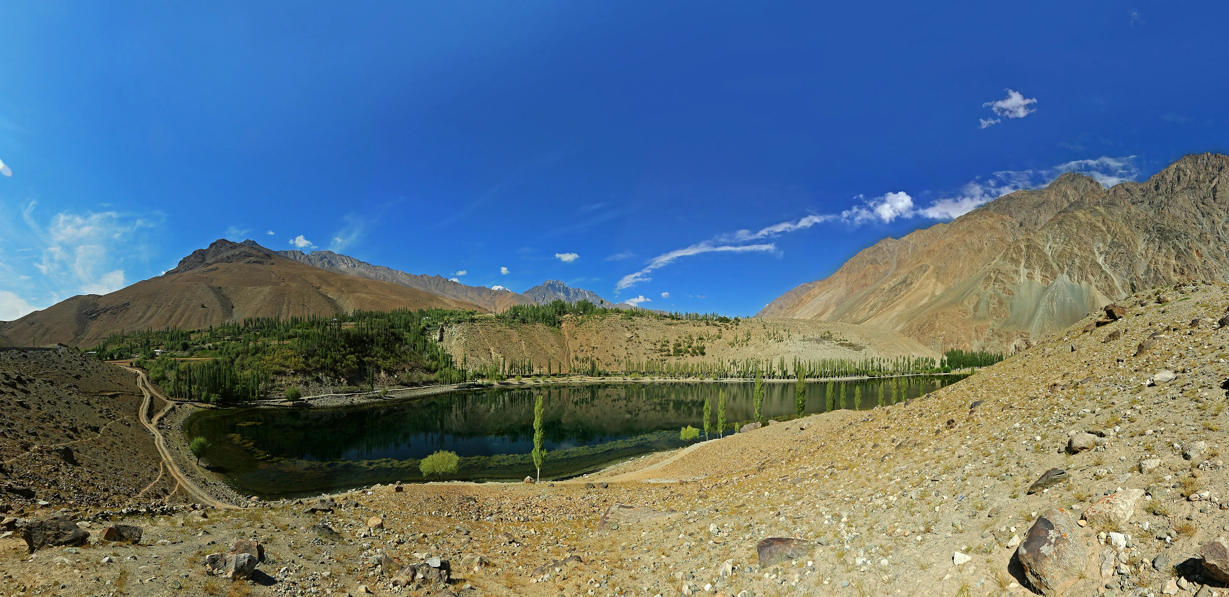
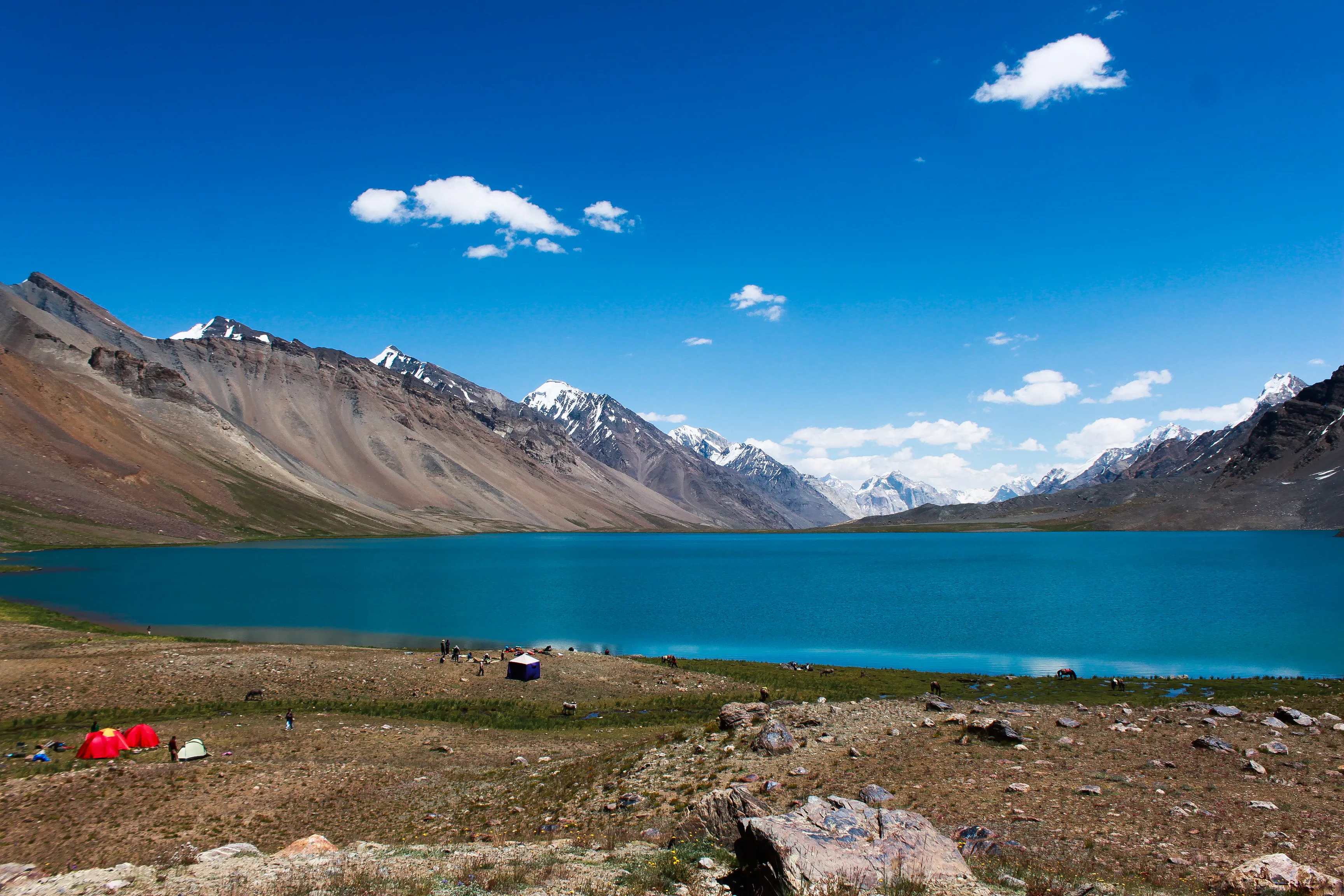
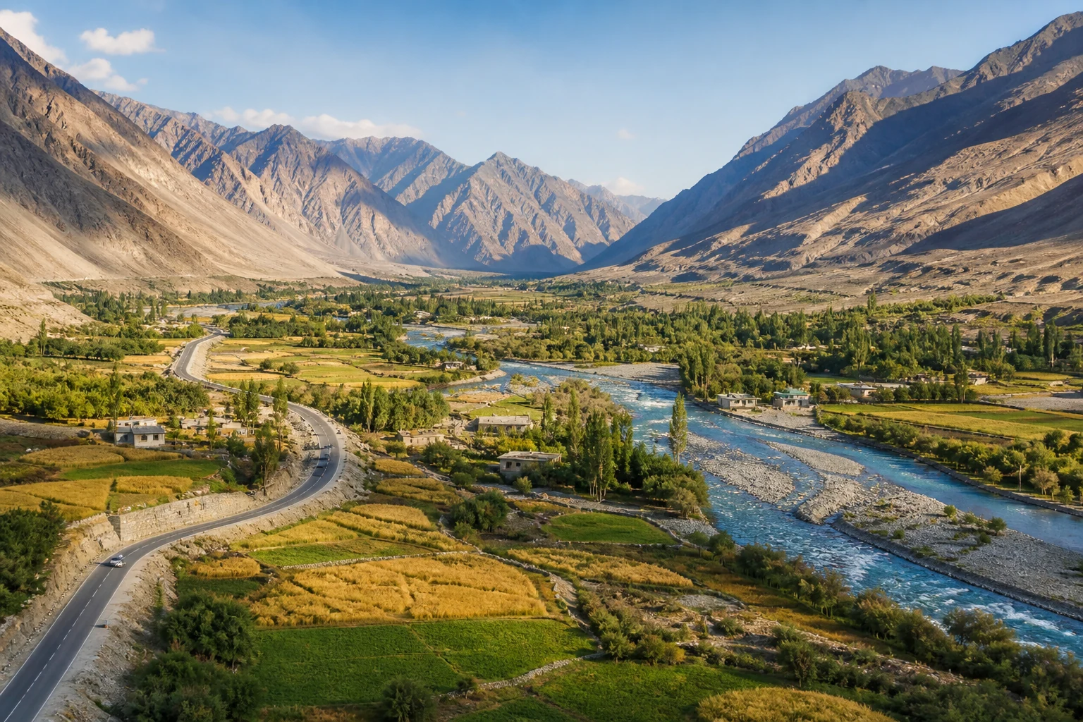
Ghizer is the slow west-of-Gilgit district: Gahkuch as headquarters, then Puniyal, Ishkoman, Yasin, Khalti, Gupis, and Phander. Shandur is a high pass linking toward Chitral, not a Ghizer town.
Plan this trip11 places published
Also known as Ghizer District, Gahkuch corridor
Practical notes
- Facilities
- Gahkuch has more services than Phander or Ishkoman. Carry cash beyond Gilgit.
These notes are not a safety guarantee. Conditions change; check closer to your dates.
Access
Getting there
620 km
Distance
~16 hrs
Drive
Last mile
Gahkuch is the practical headquarters. Phander, Yasin, and Ishkoman are further legs.
Road District road west of Gilgit; snow and slips in shoulder seasons.
When to go
Month-by-month access and crowding.
- Ideal
- Crowded
- Risky
- Closed
- Unknown
Ghizer is the slow west-of-Gilgit district: Gahkuch as headquarters, then Puniyal, Ishkoman, Yasin, Khalti, Gupis, and Phander. Shandur is a high pass linking toward Chitral, not a Ghizer town.
On the ground
What to expect
Facilities
Basic
Permit
Not required
Entry fee
Confirm locally
Facilities Gahkuch has more services than Phander or Ishkoman. Carry cash beyond Gilgit.
Permit Confirm locally whether a permit or registration is expected for high lakes such as Karambar.
The story
Use this hub for a Phander-paced itinerary rather than stacking Hunza days. Child guides cover the main valley and lakes. Newer research-preview pages name Gahkuch, Puniyal, Chatorkhand, and Hundarap so the district is not only Phander. Confirm the road in Gilgit before a late arrival.
Photos
1 photo
On the map
Ghizer
Approximate coordinates — confirm the trailhead locally: 36.17600, 73.76300 · Open in OpenStreetMap
Nearby
Easy add-ons while you’re around Ghizer.
2 places
 Regions+3 hrs
Gilgit
Gilgit is the main mid-KKH gateway for Northern Pakistan - flight arrival point, coach terminus, and staging town for Hunza, Naltar, and Astore approaches. Fairy Meadows and Raikot sit in Diamer District, west-of-Gilgit lakes sit in Ghizer.
Open guide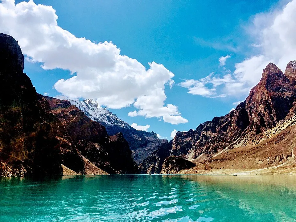 Regions+8 hrs
Chitral
Chitral is the northwest mountain gateway - town staging plus routes toward Kalash valleys and Madaklasht. Side-valley guides are still being expanded.
Open guide
Trip reports
No trip reports yet. Be the first to share one.
How this guide was checked
Verified through official and published sources. Not a field visit.
Verification level: editorially reviewed. This is not a live road-open claim.
Editorial review: 2026-08-17
Current road, permit, and weather status: confirm locally. Conditions change.
Sources last opened: 2026-08-17
No named field editor is attached to this page yet — we do not invent bylines.