




Chitral · Regions
Chitral
Chitral is the northwest mountain gateway - town staging plus routes toward Kalash valleys and Madaklasht. Side-valley guides are still being expanded.
Plan this trip12 places published
Also known as Chitral District, Lower / Upper Chitral
Practical notes
- Facilities
- Hotels and services concentrated in Chitral town; thinner in Kalash and Madaklasht.
These notes are not a safety guarantee. Conditions change; check closer to your dates.
Access
Getting there
370 km
Distance
~12 hrs
Drive
Last mile
Chitral town is the main road town; Kalash valleys and Madaklasht need onward day legs.
Road Improved via Lowari Tunnel relative to old pass routes; side valleys remain weather-sensitive.
When to go
Month-by-month access and crowding.
- Ideal
- Crowded
- Risky
- Closed
- Unknown
Chitral is the northwest mountain gateway - town staging plus routes toward Kalash valleys and Madaklasht. Side-valley guides are still being expanded.
On the ground
What to expect
Facilities
Basic
Permit
Not required
Entry fee
Confirm locally
Facilities Hotels and services concentrated in Chitral town; thinner in Kalash and Madaklasht.
Permit Confirm current advice for Kalash valleys and any restricted-area rules.
The story
Start here for approaches via Lowari / Dir and links to published side valleys. Kalash and Madaklasht get dedicated guides as research completes. Pair with Swat only when routing via Dir; treat Chitral as its own multi-day objective.
Photos
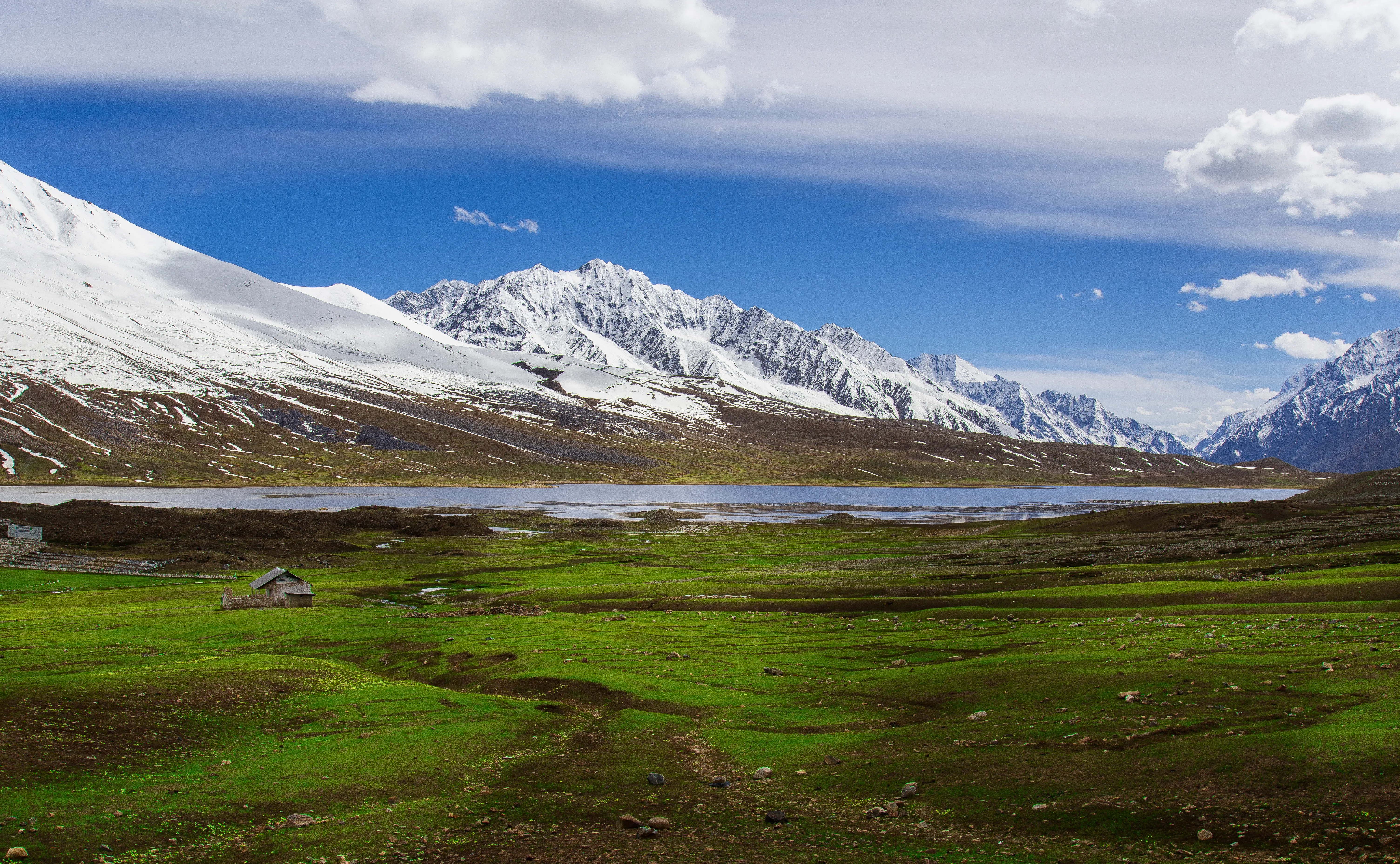
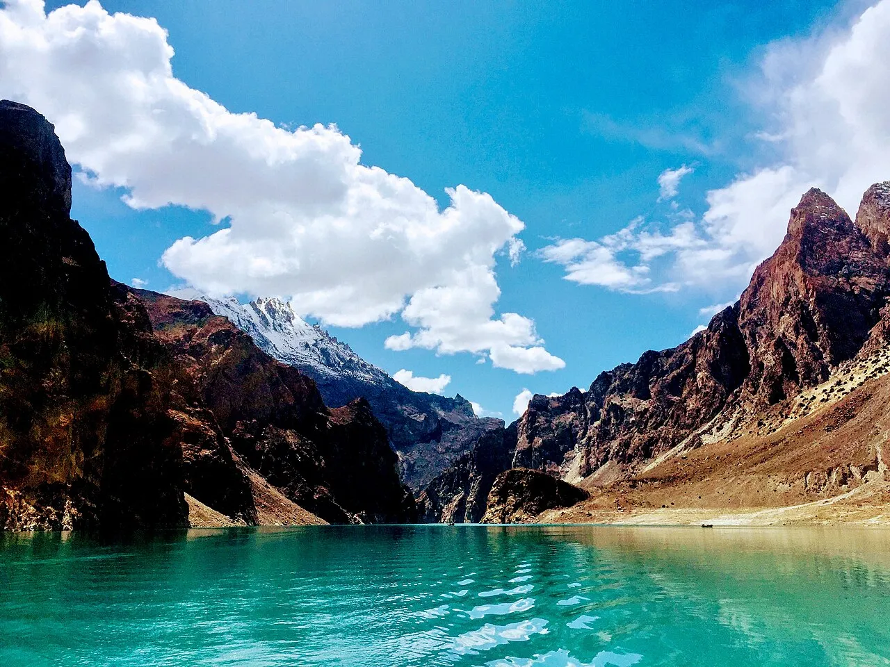
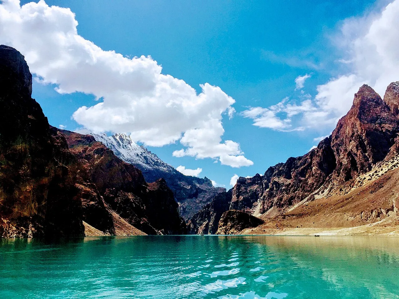
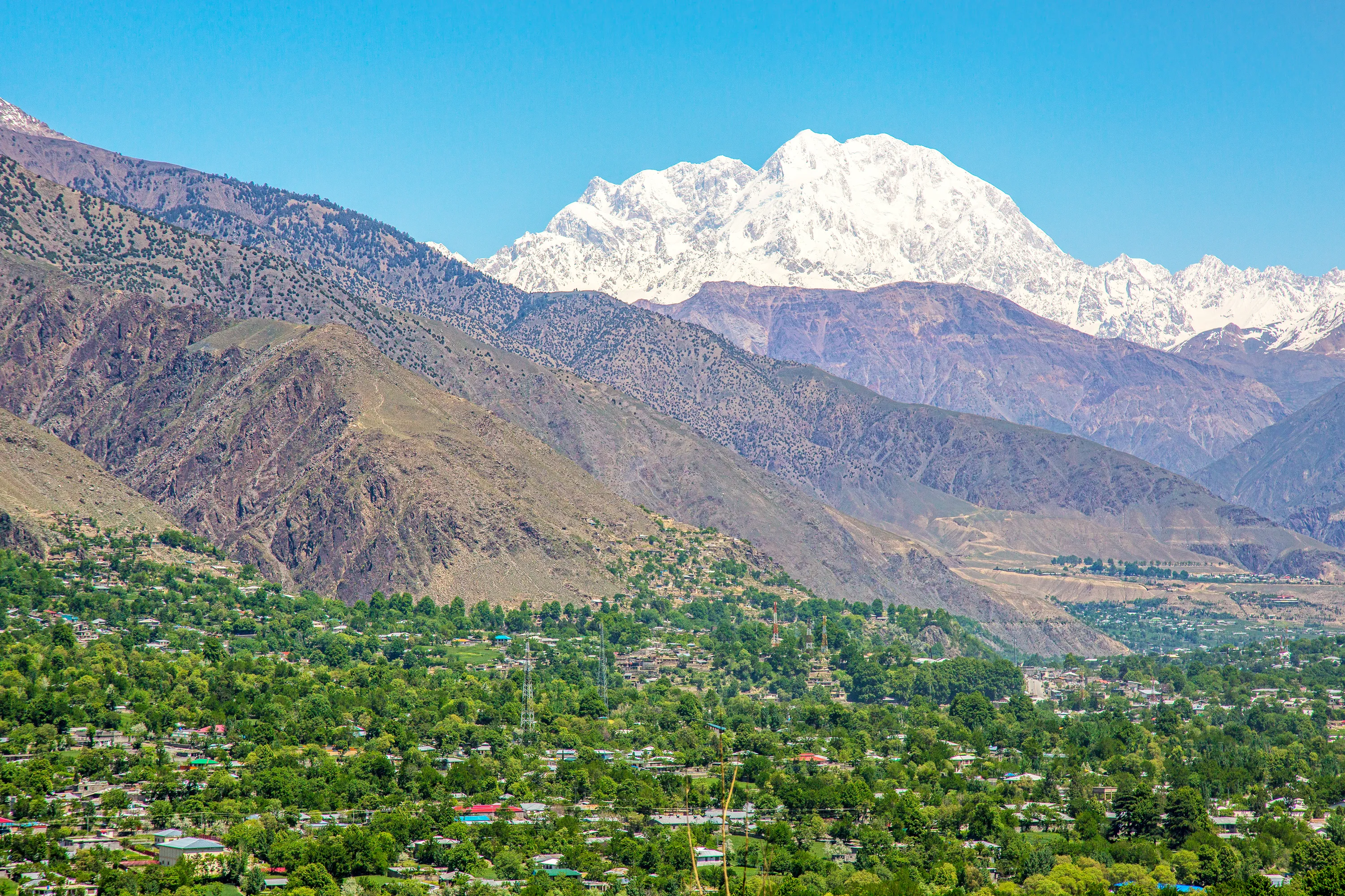
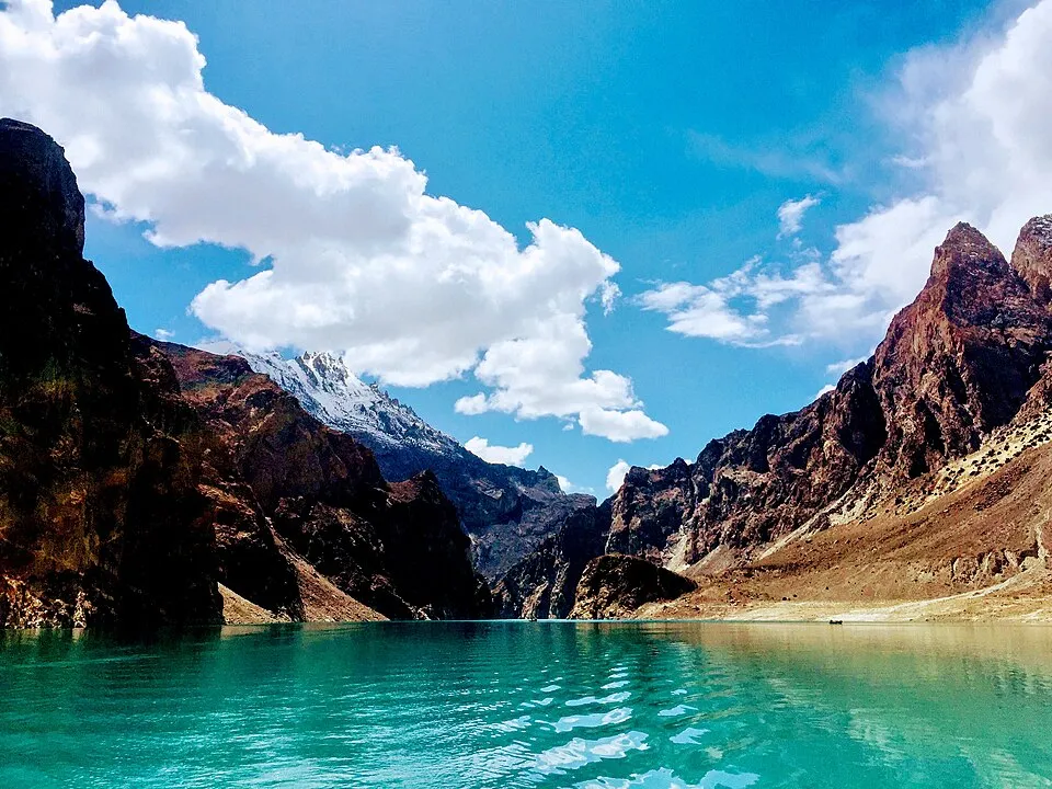
2 photos
On the map
Chitral
Approximate coordinates — confirm the trailhead locally: 35.85000, 71.79000 · Open in OpenStreetMap
Trip reports
No trip reports yet. Be the first to share one.
How this guide was checked
This guide was desk researched and has not yet been field verified.
Current road, permit, and weather status: confirm locally. Conditions change.
No named field editor is attached to this page yet — we do not invent bylines.