



Gilgit · Regions
Gilgit
Gilgit is the main mid-KKH gateway for Northern Pakistan - flight arrival point, coach terminus, and staging town for Hunza, Naltar, and Astore approaches. Fairy Meadows and Raikot sit in Diamer District, west-of-Gilgit lakes sit in Ghizer.
Plan this trip12 places published
Also known as Gilgit City, Gilgit Region
Practical notes
- Facilities
- Hotels, transport yards, and ATMs in Gilgit town; use as staging rather than a long sightseeing base.
These notes are not a safety guarantee. Conditions change; check closer to your dates.
Conditions to reconfirm
Status may be outdated · Reconfirm before departure
Islamabad–Gilgit flights cancel often in poor weather. Treat a flight as a hope, not a schedule, and keep a road backup.
Access
Getting there
580 km
Distance
~14 hrs
Drive
Last mile
Gilgit is the road and flight gateway for Hunza, Naltar, and Astore / Raikot approaches.
Road KKH approach is paved but landslide-prone; confirm Babusar vs Besham routing by season.
When to go
Month-by-month access and crowding.
- Ideal
- Crowded
- Risky
- Closed
- Unknown
Gilgit is the main mid-KKH gateway for Northern Pakistan - flight arrival point, coach terminus, and staging town for Hunza, Naltar, and Astore approaches. Fairy Meadows and Raikot sit in Diamer District, west-of-Gilgit lakes sit in Ghizer.
On the ground
What to expect
Facilities
Developed
Permit
Not required
Entry fee
Confirm locally
Facilities Hotels, transport yards, and ATMs in Gilgit town; use as staging rather than a long sightseeing base.
Permit Confirm current GB registration practices for onward travel.
The story
This page orients logistics: how people arrive, where they sleep, and which corridors open next. Pair with Hunza-Nagar or Astore destination entries for scenery-led itineraries. Naltar is a common nearby valley add-on. Use the Diamer / Chilas hub for Fairy Meadows and the Ghizer hub for Phander and Gahkuch.
Photos
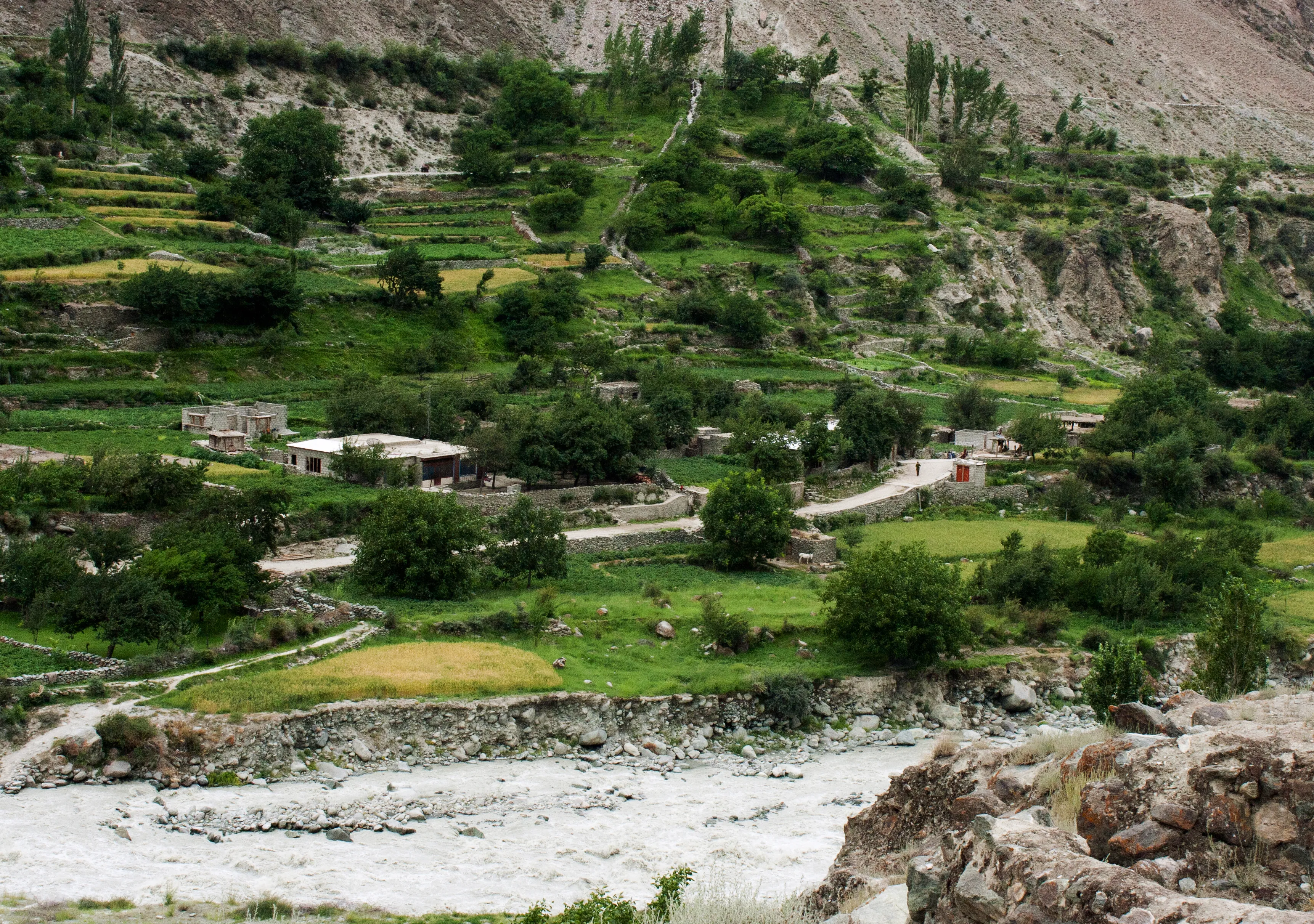
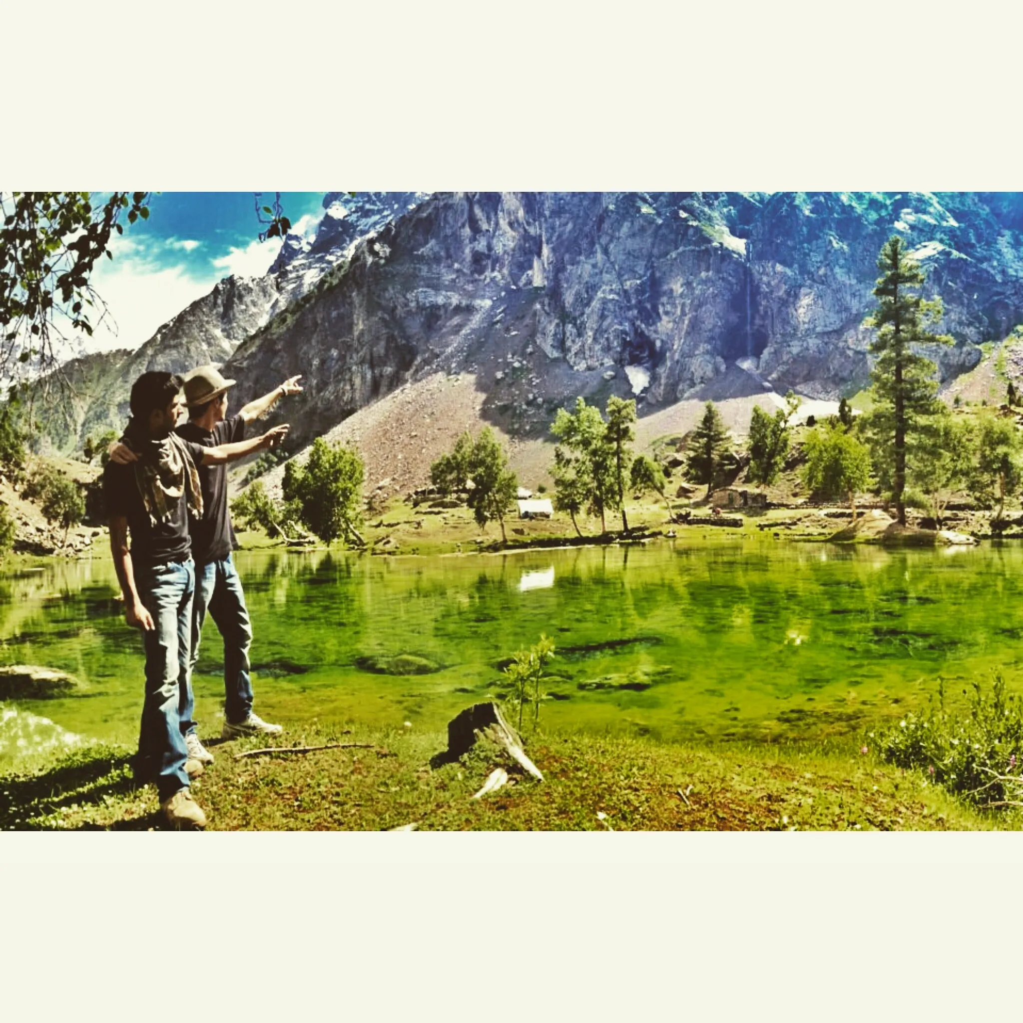
2 photos
On the map
Gilgit
Approximate coordinates — confirm the trailhead locally: 35.92000, 74.31000 · Open in OpenStreetMap
Trip reports
No trip reports yet. Be the first to share one.
How this guide was checked
This guide was desk researched and has not yet been field verified.
Current road, permit, and weather status: confirm locally. Conditions change.
No named field editor is attached to this page yet — we do not invent bylines.