
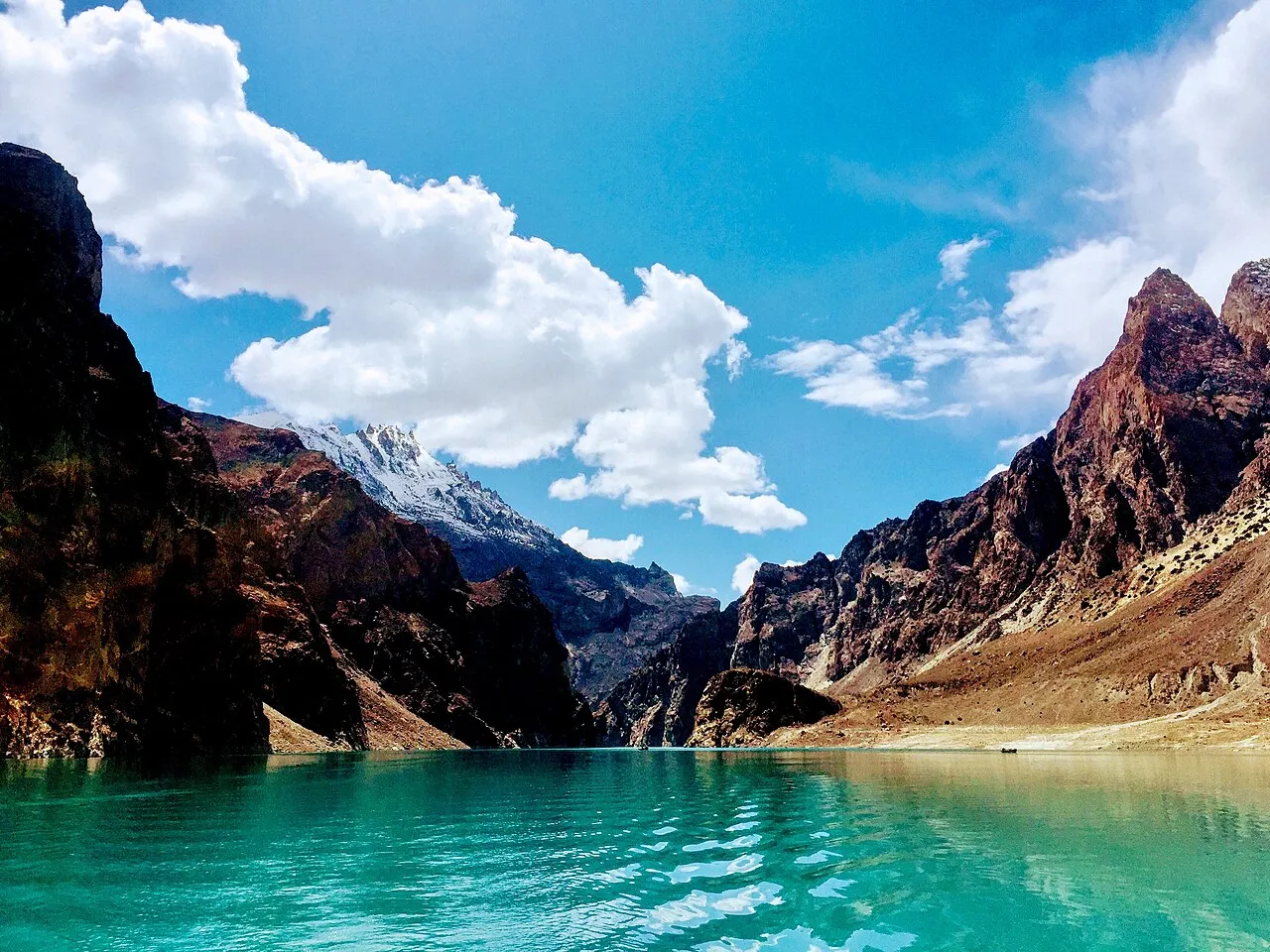


Kohistan · Regions
Kohistan
A little-documented district along the Karakoram Highway between Hazara and Gilgit-Baltistan, known for remote valleys, rare wildlife, and minimal tourism infrastructure.
Plan this trip4 places published
Also known as Upper Kohistan, Kolai-Palas, Indus Kohistan
District-level caution only - individual valleys can be stricter. A local guide is strongly advised for interior travel.
Practical notes
- Facilities
- Dassu and KKH waypoints have limited services. Interior valleys often have none.
These notes are not a safety guarantee. Conditions change; check closer to your dates.
Conditions to reconfirm
Status may be outdated · Reconfirm before departure
The Karakoram Highway can close for slips, especially after rain or snowmelt. Reconfirm the Besham–Chilas stretch before a long drive.
Access
Getting there
320 km
Distance
~9 hrs
Drive
Last mile
Side valleys often need jeep or hike-in from Indus / KKH roadheads.
Road Main KKH is the spine; interior valley roads are rough, seasonal, and sparsely signed.
When to go
Month-by-month access and crowding.
- Ideal
- Crowded
- Risky
- Closed
- Unknown
A little-documented district along the Karakoram Highway between Hazara and Gilgit-Baltistan, known for remote valleys, rare wildlife, and minimal tourism infrastructure.
On the ground
What to expect
Facilities
Basic
Permit
Not required
Entry fee
Confirm locally
Facilities Dassu and KKH waypoints have limited services. Interior valleys often have none.
The story
Kohistan sits on the Indus / KKH corridor with side valleys that most travelers never enter. Infrastructure thins quickly off the highway. Treat this page as logistics context for Palas, Kandia, Dubair, and Suppat - not as a casual weekend list.
Local guidance, photography norms, and camping logistics matter more here than on developed valley circuits. Confirm current road and access advice before you commit.
Photos
1 photo
On the map
Kohistan
Approximate coordinates — confirm the trailhead locally: 35.03000, 73.00000 · Open in OpenStreetMap
Trip reports
No trip reports yet. Be the first to share one.
How this guide was checked
This guide was desk researched and has not yet been field verified.
Current road, permit, and weather status: confirm locally. Conditions change.
No named field editor is attached to this page yet — we do not invent bylines.