Chitral · Hikes
Shandur Pass Approach
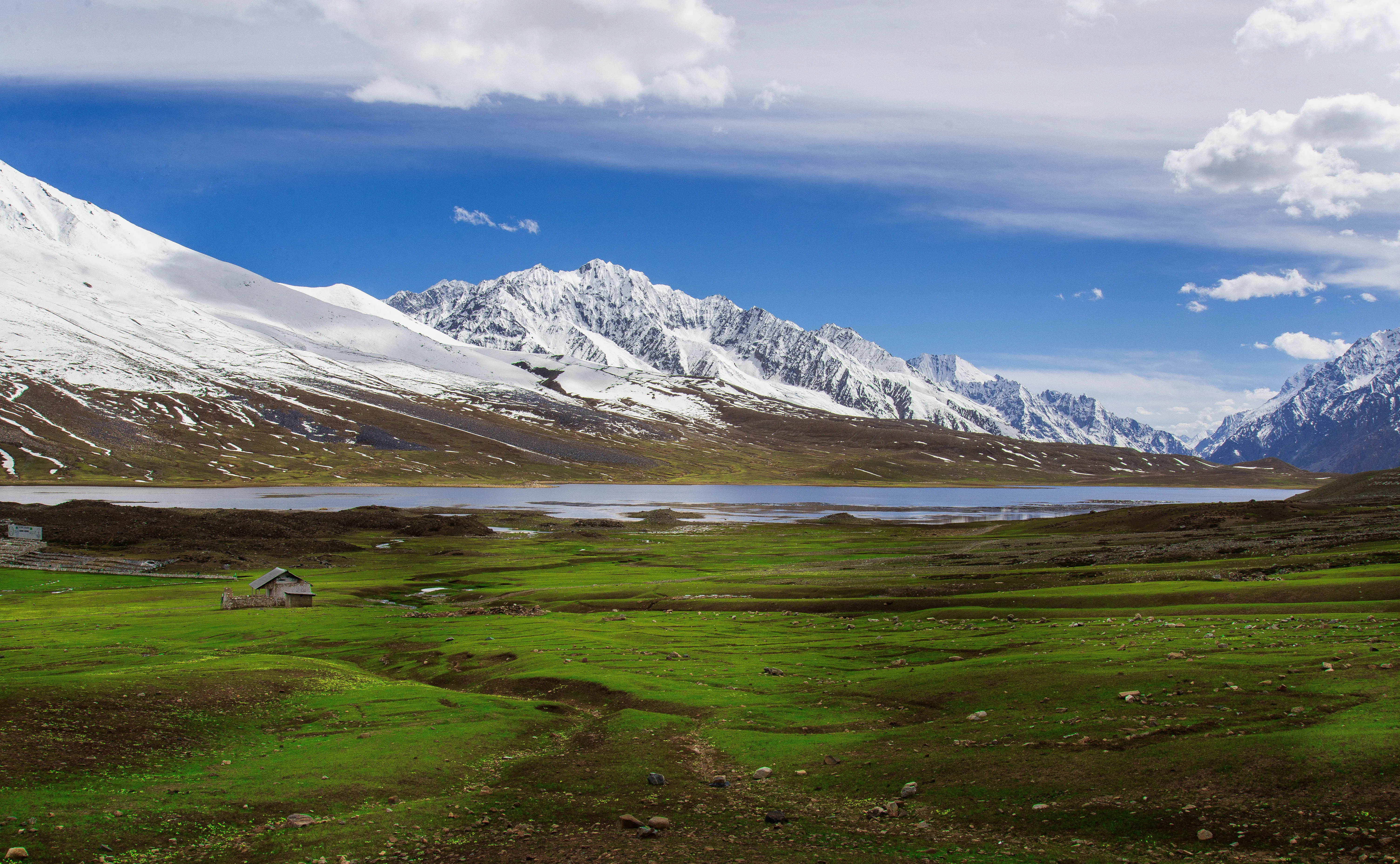
Shandur Pass Approach is a hike near Chitral / Phandar in northern Pakistan. This guide focuses on how to get there, when conditions are workable, and what to confirm on the ground before you go.
Plan this tripPractical notes
- Facilities
- Services are limited compared with busier hubs - carry water, layers, and a buffer day.
These notes are not a safety guarantee. Conditions change; check closer to your dates.
Access
Getting there
560 km
Distance
~14 hrs
Drive
Last mile
Road to Shandur Top; short ridge / lake walks from the pass.
Road Chitral-Gilgit high pass road; snow closes much of winter.
When to go
Month-by-month access and crowding.
- Ideal
- Crowded
- Risky
- Closed
- Unknown
Shandur Pass Approach is a hike near Chitral / Phandar in northern Pakistan. This guide focuses on how to get there, when conditions are workable, and what to confirm on the ground before you go.
On the ground
What to expect
Facilities
Basic
Permit
Not required
Entry fee
Confirm locally
Facilities Services are limited compared with busier hubs - carry water, layers, and a buffer day.
The story
Shandur Pass Approach sits in the Chitral corridor and suits travelers who want a quieter alternative to the busiest northern hubs. Most approaches run from Islamabad along the main northern road network toward Chitral / Phandar; fares and jeep rates change often, so confirm locally. Use the access and season sections below as a planning frame, then re-check road status the morning you travel.
Photos
2 photos
Route map
Shandur Pass Approach
Approximate coordinates — confirm the trailhead locally: 36.08700, 72.54500 · Open in OpenStreetMap
Trip reports
No trip reports yet. Be the first to share one.
How this guide was checked
Verified through official and published sources. Not a field visit.
Current road, permit, and weather status: confirm locally. Conditions change.
No named field editor is attached to this page yet — we do not invent bylines.