Diamer / Chilas · diamer · Hikes
Fairy Meadows Trek
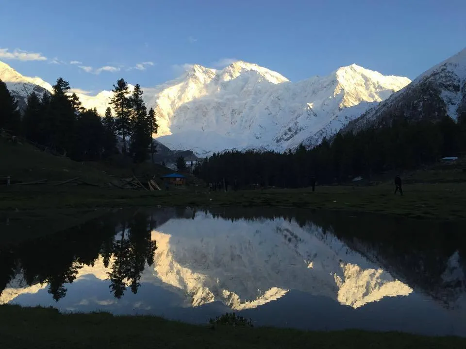
The Fairy Meadows trek pairs a steep jeep approach to Tato with a moderate-to-hard forest walk up to high meadows facing Nanga Parbat. Most parties overnight at the meadows; stronger hikers continue toward Beyal the next day.
Plan this tripAlso known as Raikot Trek, Tato to Fairy Meadows
Practical notes
- Facilities
- Seasonal camps at Fairy Meadows; limited services on the trail.
These notes are not a safety guarantee. Conditions change; check closer to your dates.
Access
Getting there
490 km
Distance
~12 hrs
Drive
Last mile
Jeep Raikot → Tato, then trek to Fairy Meadows.
Road Indus-side jeep track is steep and rough; weather closures common.
When to go
Month-by-month access and crowding.
- Ideal
- Crowded
- Risky
- Closed
- Unknown
The Fairy Meadows trek pairs a steep jeep approach to Tato with a moderate-to-hard forest walk up to high meadows facing Nanga Parbat. Most parties overnight at the meadows; stronger hikers continue toward Beyal the next day.
On the ground
What to expect
Facilities
Basic
Permit
Not required
Entry fee
Confirm locally
Facilities Seasonal camps at Fairy Meadows; limited services on the trail.
Permit Local entry fees sometimes collected - confirm on arrival.
Adventure details
Best window: May - October · ~2 days · up to 3300 m
Permits & crew
What you need before you commit to this route.
- Permit
- Not required
- Guide / crew
- Not required
Guide notes: Local guides and porters available at Tato / meadows in season; helpful for first-timers.
How to vet an operator
Neutral criteria only - this is not an endorsement of any company. Ask these questions before you pay a deposit.
Vetting criteria pending editorial review.
The story
Structurally this is a short multi-day trek rather than a single valley stroll: stage at Raikot Bridge, jeep to Tato, then climb to Fairy Meadows with overnight gear or booked camps. Adventure overlay stays light - altitude and exposure matter, but it is not an expedition-grade glacier route. Confirm seasonal opening of the jeep track and carry layers, water, and a headlamp. See the Fairy Meadows meadow and Nanga Parbat base-view entries for destination framing.
Photos
2 photos
Route map
Fairy Meadows Trek
Approximate coordinates — confirm the trailhead locally: 35.38500, 74.58000 · Open in OpenStreetMap
Nearby
Easy add-ons while you’re around Fairy Meadows Trek.
2 places
 MeadowsSame stop
Fairy Meadows
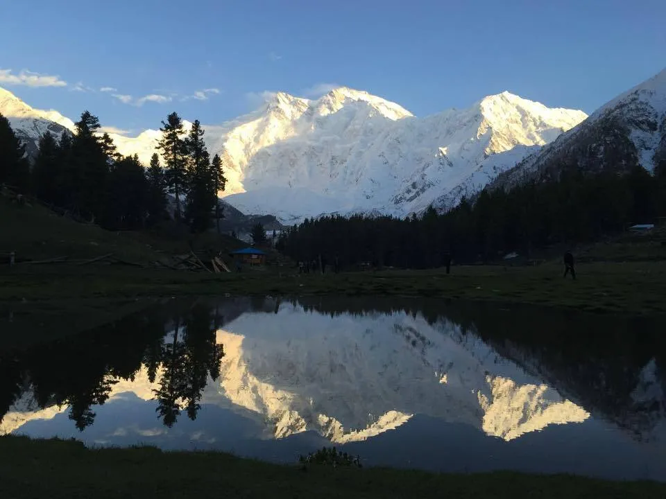
Fairy Meadows is a high alpine meadow facing Nanga Parbat, reached by jeep to Tato then a trek from the Raikot Bridge corridor. Most visitors stay overnight for sunrise views rather than attempting a same-day return from the plains.
Open guide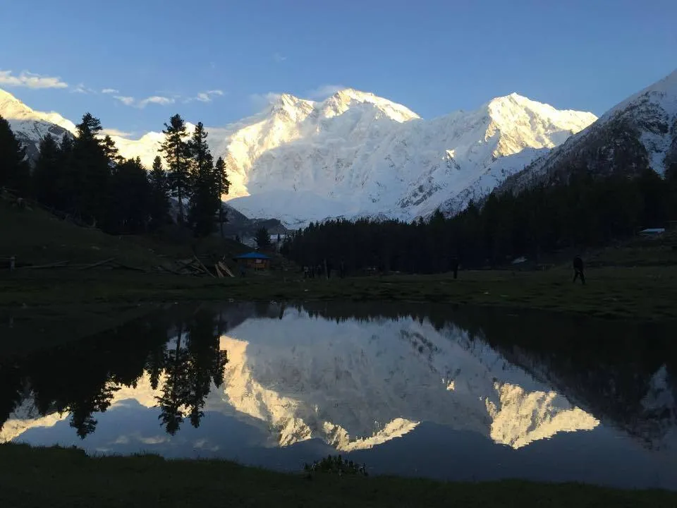 Glaciers & Peaks
Nanga Parbat Base View
Nanga Parbat Base View covers the Fairy Meadows / Beyal framing of the Raikot face - a multi-day meadow and viewpoint itinerary rather than a summit attempt. Most travelers overnight at Fairy Meadows before walking higher for closer views.
Open guide
Trip reports
No trip reports yet. Be the first to share one.
How this guide was checked
Verified through official and published sources. Not a field visit.
Current road, permit, and weather status: confirm locally. Conditions change.
No named field editor is attached to this page yet — we do not invent bylines.