
Diamer / Chilas · diamer · Landmarks
Chilas
Chilas is the practical Diamer base on the KKH - staging for petroglyphs, Raikot, and Fairy Meadows rather than a resort strip.
Plan this tripAlso known as Chilas town
Practical notes
- Facilities
- Services are limited compared with busier hubs. Confirm lodging, cash, and fuel on the ground.
These notes are not a safety guarantee. Conditions change; check closer to your dates.
Access
Getting there
470 km
Distance
~12 hrs
Drive
Last mile
KKH town access.
Road Main KKH; summer heat and landslide delays are the usual issues.
When to go
Month-by-month access and crowding.
- Ideal
- Crowded
- Risky
- Closed
- Unknown
Chilas is the practical Diamer base on the KKH - staging for petroglyphs, Raikot, and Fairy Meadows rather than a resort strip.
On the ground
What to expect
Facilities
Basic
Permit
Not required
Entry fee
Confirm locally
Facilities Services are limited compared with busier hubs. Confirm lodging, cash, and fuel on the ground.
Permit Confirm locally whether a permit, NOC, or registration is required for your dates.
The story
Use Chilas as an overnight and logistics town: fuel, simple lodging, and local advice for Raikot and rock-art pull-offs. It is not Hunza. Confirm current KKH status before you treat a Chilas night as a guaranteed Fairy Meadows launch.
Photos
1 photo
On the map
Chilas
Approximate coordinates — confirm the trailhead locally: 35.41900, 74.10000 · Open in OpenStreetMap
Nearby
Easy add-ons while you’re around Chilas.
3 places
- Landmarks
Chilas Petroglyphs
Chilas riverside rocks hold ancient petroglyphs along the KKH - a short cultural stop when daylight and local guidance allow.
Open guide 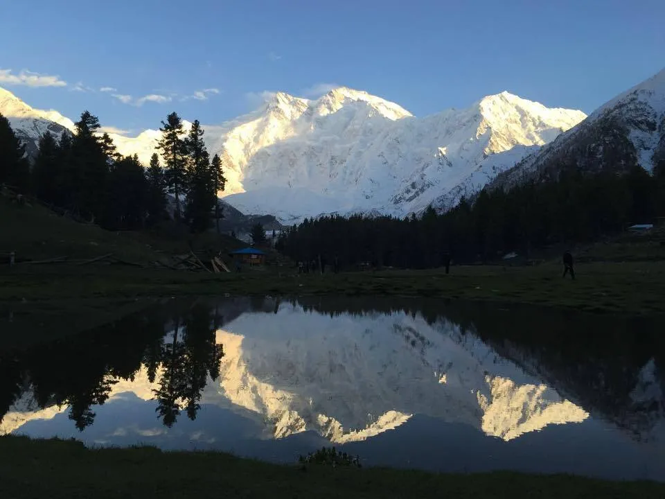 Meadows
Fairy Meadows
Fairy Meadows is a high alpine meadow facing Nanga Parbat, reached by jeep to Tato then a trek from the Raikot Bridge corridor. Most visitors stay overnight for sunrise views rather than attempting a same-day return from the plains.
Open guide- Landmarks
Raikot / Rakhiot corridor
Raikot Bridge is the Diamer roadhead for Fairy Meadows and the Rakhiot face of Nanga Parbat - a corridor, not a picnic lay-by.
Open guide
Trip reports
No trip reports yet. Be the first to share one.
How this guide was checked
This guide was desk researched and has not yet been field verified.
Verification level: unverified. This is not a live road-open claim.
Editorial review: 2026-08-17
Current road, permit, and weather status: confirm locally. Conditions change.
Sources last opened: 2026-08-17
Desk research from official tourism listings. Confirm locally before travel.
No named field editor is attached to this page yet — we do not invent bylines.