
Islamabad / Murree · Wildlife & parks
Ayubia National Park
Ayubia National Park protects Galyat forest ridges above Nathiagali - chairlift views, Pipeline Track access, and cooler day walks from the hill stations.
Plan this tripPractical notes
- Facilities
- Seasonal stalls and park entry points; lodging in Nathiagali.
These notes are not a safety guarantee. Conditions change; check closer to your dates.
Access
Getting there
95 km
Distance
~2.75 hrs
Drive
Last mile
Access from Nathiagali / Ayubia roadheads; some trails start at chairlift stations.
Road Hill roads into park edges; trails muddy after monsoon.
When to go
Month-by-month access and crowding.
- Ideal
- Crowded
- Risky
- Closed
- Unknown
Ayubia National Park protects Galyat forest ridges above Nathiagali - chairlift views, Pipeline Track access, and cooler day walks from the hill stations.
Park fees & permits
Entry rules for this protected area - confirm at the gate before you travel.
- Local entry
- PKR 20–200
- Foreign entry
- PKR 100–500
- Managed by
- Khyber Pakhtunkhwa Wildlife Department
- IUCN category
- Category II
Wildlife to look for
Best window: April–June and September–October for clearer trails and bird activity
- Common leopardVulnerable
Rarely seen - keep distance if spotted.
- Koklass pheasant
- Kalij pheasant
- Rhesus macaque
Stay on marked trails; feeding wildlife and loud music degrade habitat around busy chairlift zones.
Inside the park
Named zones and stops - open the linked guides for trail or lake detail.
Pipeline Track corridor
Classic forest walk linking Galyat towns.
Open guideMushkpuri approach
Higher ridge day hike from the park edge.
Open guideMiranjani approach
Longer ridge objective for fit walkers.
Open guide
On the ground
What to expect
Facilities
Basic
Permit
Not required
Entry fee
Confirm locally
Facilities Seasonal stalls and park entry points; lodging in Nathiagali.
Permit Confirm any current park entry or chairlift fees on the day.
The story
Plan Ayubia as the park frame around Galyat day walks, not a second copy of each trail guide. Pipeline Track, Mushkpuri, and Miranjani stay the detailed hike pages; this entry covers park context, seasons, and wildlife conduct. Most visitors combine a chairlift or short walk with a Nathiagali overnight.
Photos
1 photo
On the map
Ayubia National Park
Approximate coordinates — confirm the trailhead locally: 34.05940, 73.39920 · Open in OpenStreetMap
Nearby
Easy add-ons while you’re around Ayubia National Park.
4 places
 HikesSame stop
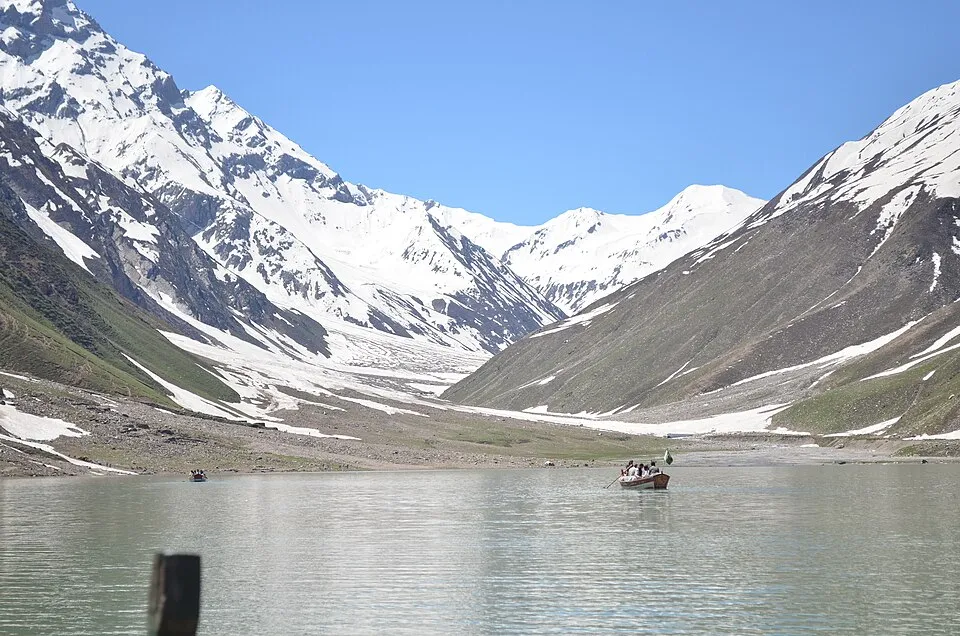
Pipeline Track
Pipeline Track is an easy forest walk linking Dunga Gali and Ayubia in the Galyat hills - a classic family-friendly half-day outing from the Murree corridor. Most parties walk one way and arrange a vehicle at the far end.
Open guide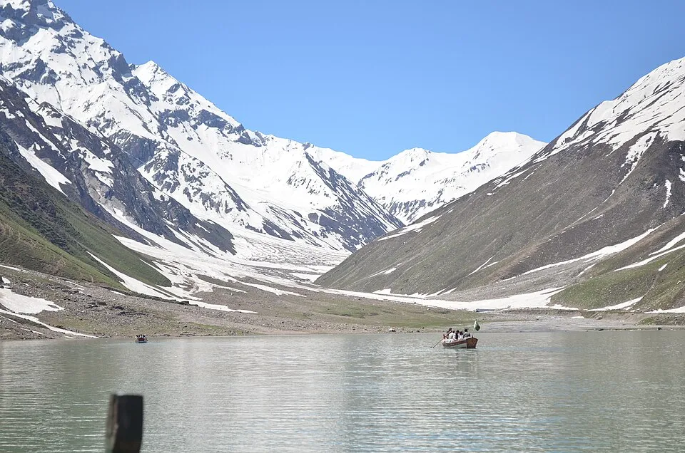 Hikes+0.5 hrs
Mushkpuri Top
Mushkpuri Top is a moderate day hike from Nathia Gali in the Galyat hills, popular with Islamabad weekenders. Most parties summit and return the same day, with lodging available in Nathia Gali if splitting the trip.
Open guide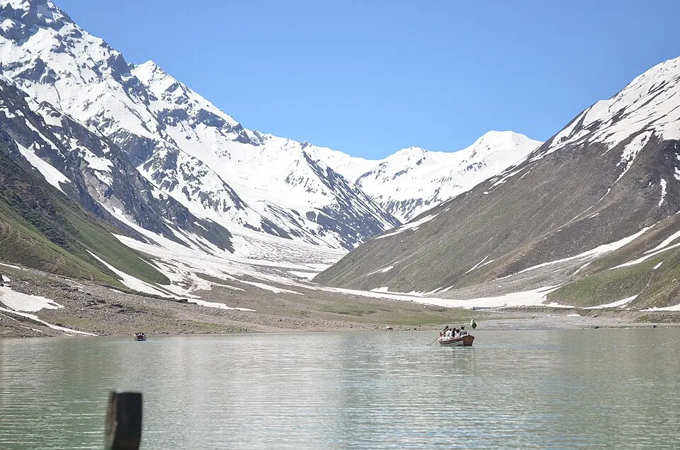 Hikes+0.8 hrs
Miranjani Top
Miranjani Top is a moderate-to-hard day hike in the Galyat / Ayubia hills, typically staged from Nathia Gali. It is longer and more demanding than Mushkpuri for many parties, best done with an early start and weather buffer.
Open guide LandmarksSame stop
Nathiagali
Nathiagali is the Galyat hill-station spine - pine walks, colonial-era churches, and an easy overnight from Islamabad when Murree feels too crowded.
Open guide
Trip reports
No trip reports yet. Be the first to share one.
How this guide was checked
Verified through official and published sources. Not a field visit.
Current road, permit, and weather status: confirm locally. Conditions change.
No named field editor is attached to this page yet — we do not invent bylines.